| dc.contributor | Jakupec, M. (közrem.) | |
| dc.contributor | Pauliny, J. (közrem.) | |
| dc.contributor | Militärgeographisches Institut (Wien) (kész.) | |
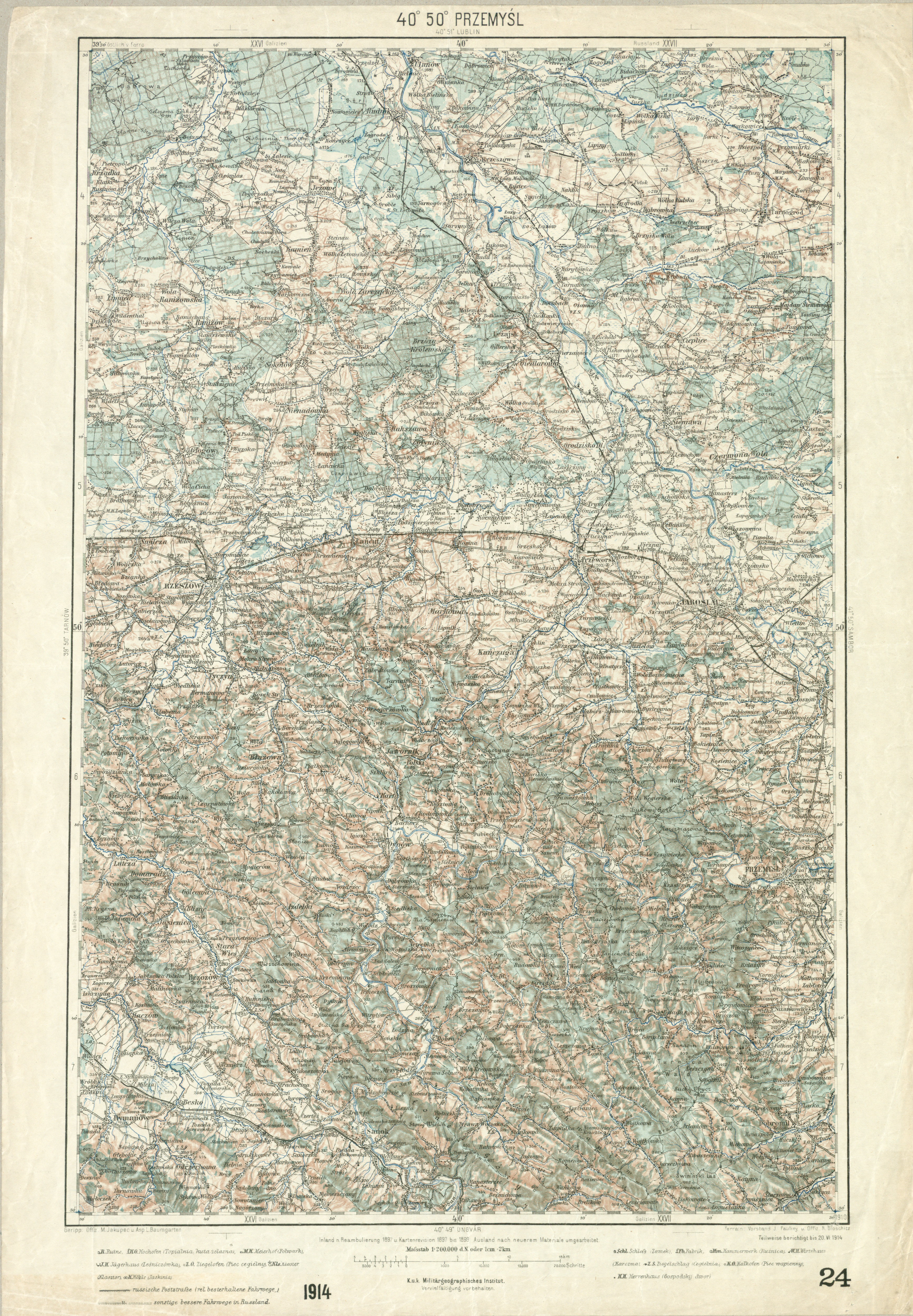
| dc.coverage.spatial | Przemyśl | |
| dc.date.accessioned | 2020-08-12T06:20:18Z | |
| dc.date.available | 2020-08-12T06:20:18Z | |
| dc.date.copyright | [1914] | |
| dc.date.issued | [1914] | |
| dc.identifier.other | 1063104 | |
| dc.identifier.uri | http://hdl.handle.net/20.500.12346/1888066 | |
| dc.description | Térkép alatt megj.: "Teilweise berichtigt bis 20. VI. 1914" | |
| dc.description.statementofresponsibility | Geripp: M. Jakupec u. ... L. Baumgarter ; Terrain: ... J. Pauliny u. ... R. Bloschitz | |
| dc.description.tableofcontents | Közigazgatással | |
| dc.description.tableofcontents | Domborzat csíkozással | |
| dc.description.tableofcontents | Települések vázlatos alaprajzban | |
| dc.description.tableofcontents | Jelmagyarázat TI 1 052-es jelzeten | |
| dc.format.extent | 1 térkl. | |
| dc.format.medium | színes | |
| dc.format.medium | 55,5x35,5 cm | |
| dc.publisher | K. u. K. Militärgeographisches Institut | |
| dc.title | Przemyśl | |
| dc.type | topográfiai térkép | |
| dc.date.updated | 2018-10-27T11:16:25Z | |
| dc.identifier.location | B1 TT 40°50°/1914 | |
| dc.format.scale | 1:200 000 | |
| OSZK.title.uniform | Generalkarte von Mitteleuropa, 1:200 000 topográfiai térkép 1887/1918 | |