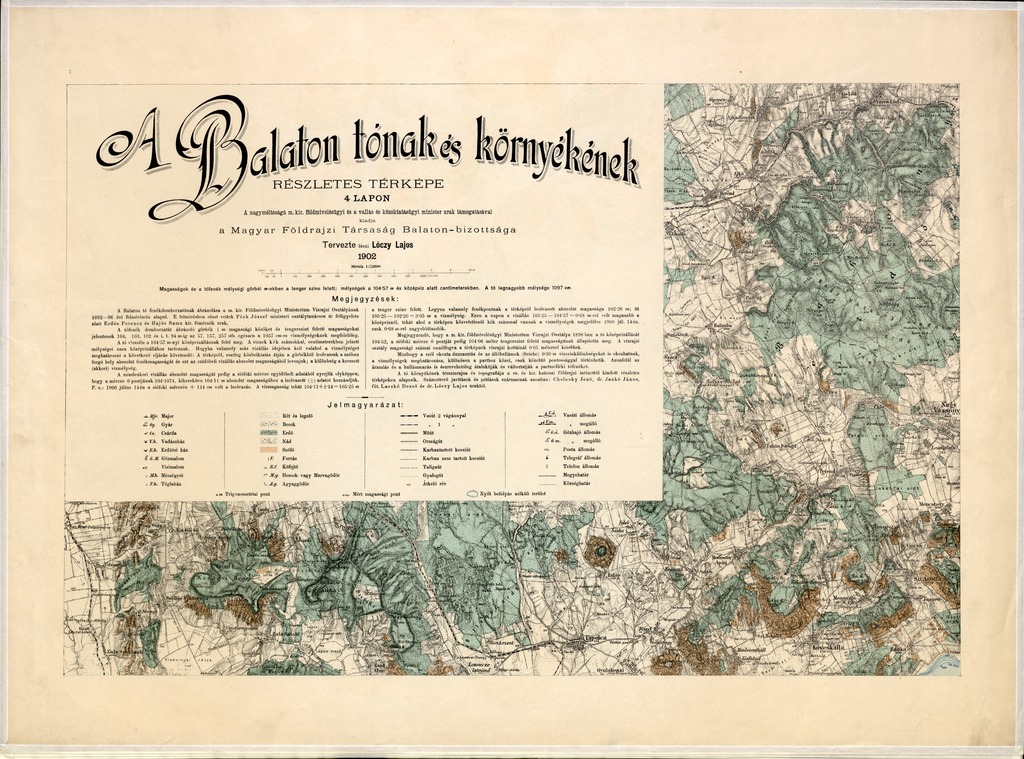
| dc.contributor | Lóczy Lajos (1849-1920) (terv.) | |
| dc.contributor | Kaiserlich-Königliches Militär-Geographisches Institut (Wien) (kész.) | |
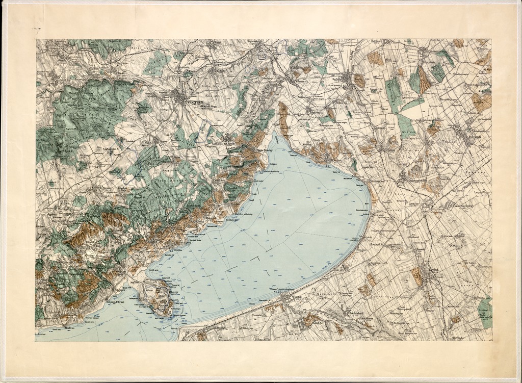
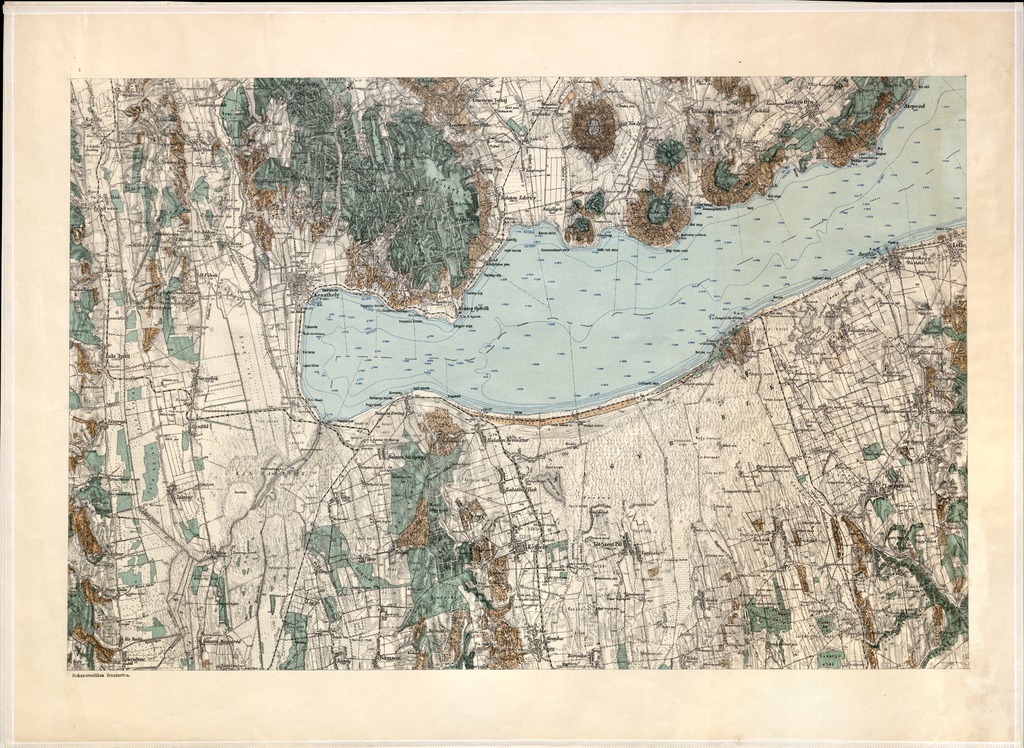
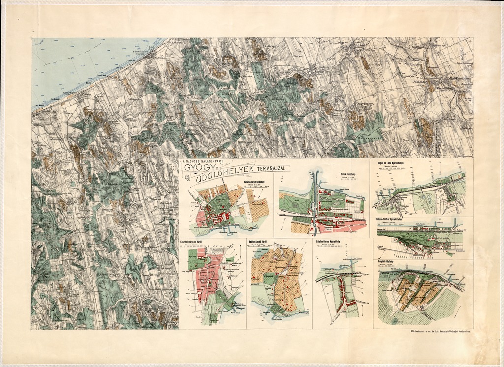
| dc.coverage.spatial | 1:75 000 | |
| dc.coverage.spatial | Balaton (környék) | |
| dc.date.accessioned | 2016-05-13T00:16:09Z | |
| dc.date.available | 2016-05-13T00:16:09Z | |
| dc.date.copyright | 1903 | |
| dc.date.issued | 1903 | |
| dc.identifier.uri | https://ds.oszk.hu/xmlui/handle/123456789/50867 | |
| dc.format.extent | 1 térk. (4 szelv.) | |
| dc.format.medium | színes | |
| dc.format.medium | egyenként 41,6x63,5 cm | |
| dc.publisher | Magyar Földrajzi társaság Balaton-bizottsága | |
| dc.relation.ispartofseries | (A Balaton tudományos tanulmányozásának eredményei | |
| dc.title | A Balaton tónak és környékének részletes térképe | |
| dc.title.alternative | Balaton (környék) (topográfiai térkép) (1902) | |
| dc.type | Cartographic | |
| dc.type | topográfiai térkép | |
| dc.publication | [Budapest] : Magyar Földrajzi társaság Balaton-bizottsága, 1903 | |
| dc.identifier.collection | OSZK-2544293 | |
| dc.identifier.location | TM 4 758 | |
| dc.identifier.location | TM 4 758:2 | |
| dc.identifier.location | TM 4 758:3 | |
| dc.identifier.location | TM 4 758:4 | |
| dc.identifier.location | TM 4 758:5 | |
| dc.identifier.location | TM 4 758:6 | |
| dc.identifier.location | TM 4 758 arch | |