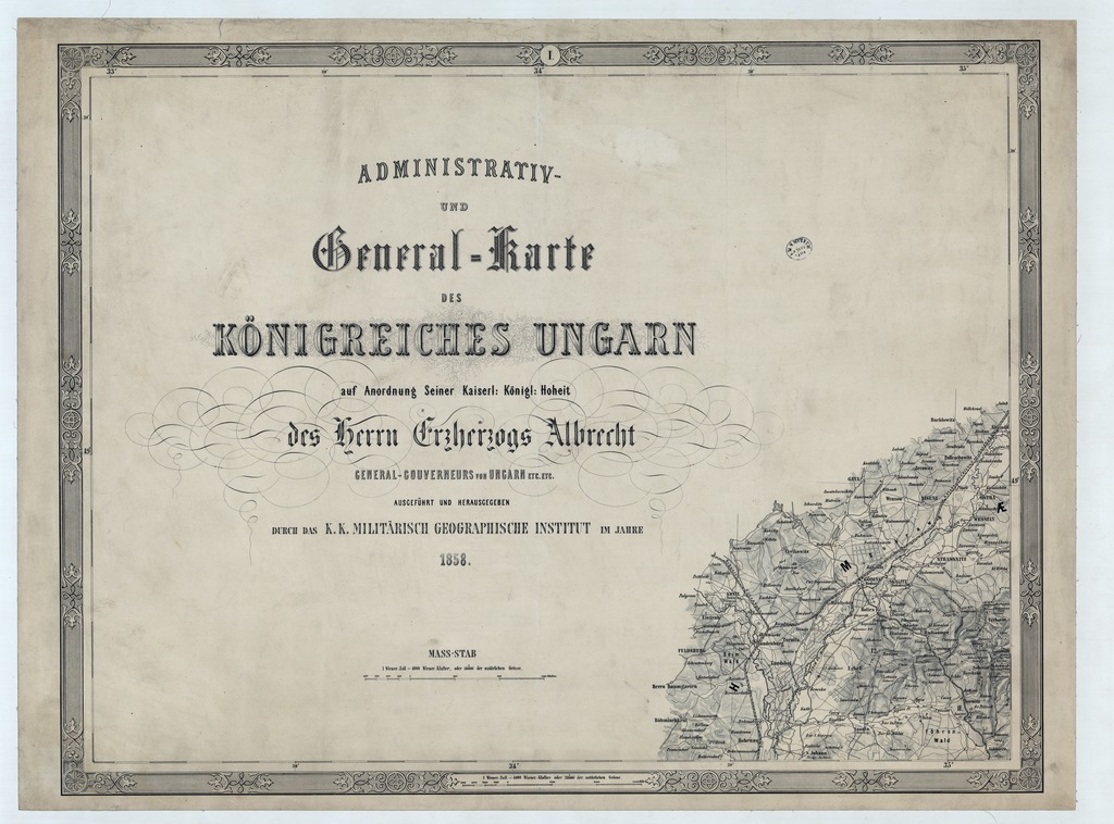
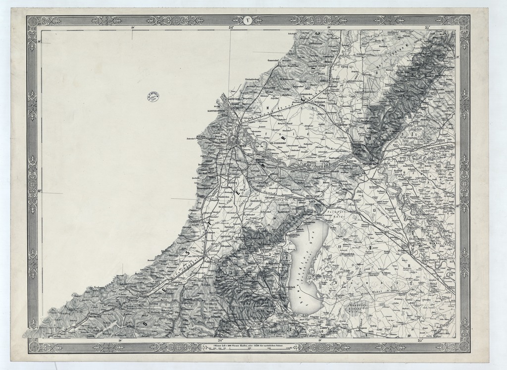
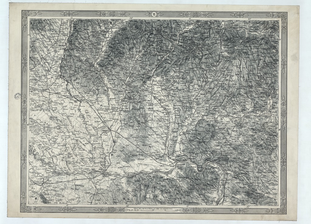
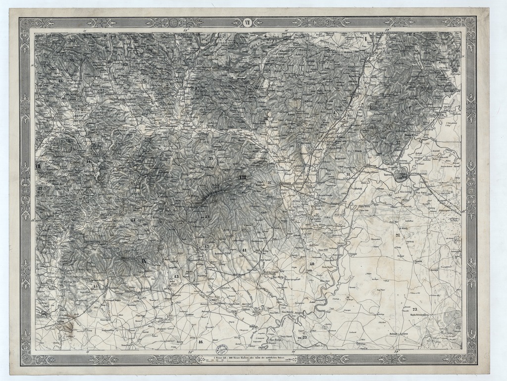
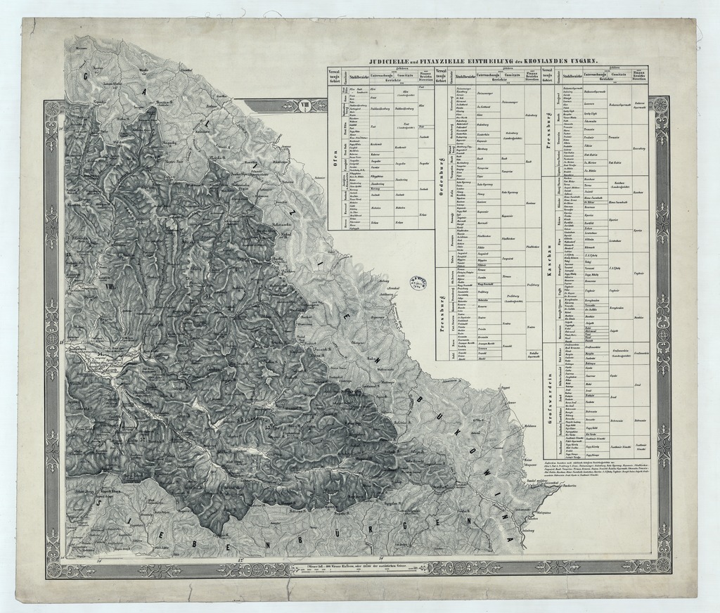
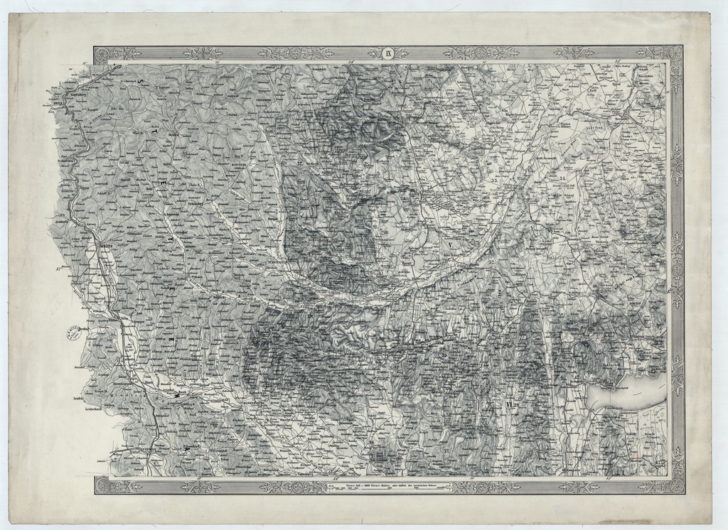
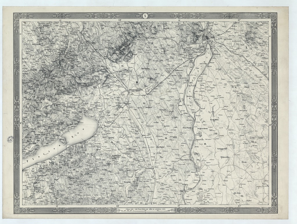
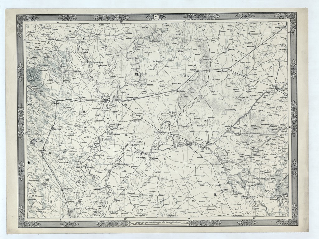
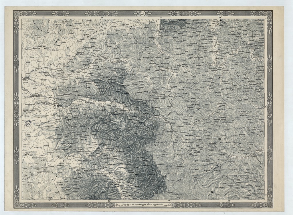
Administrativ- und General-Karte des Königreiches Ungarn
| dc.contributor | Kaiserlich-Königliches Militär-Geographisches Institut (Wien) (kész.) | |
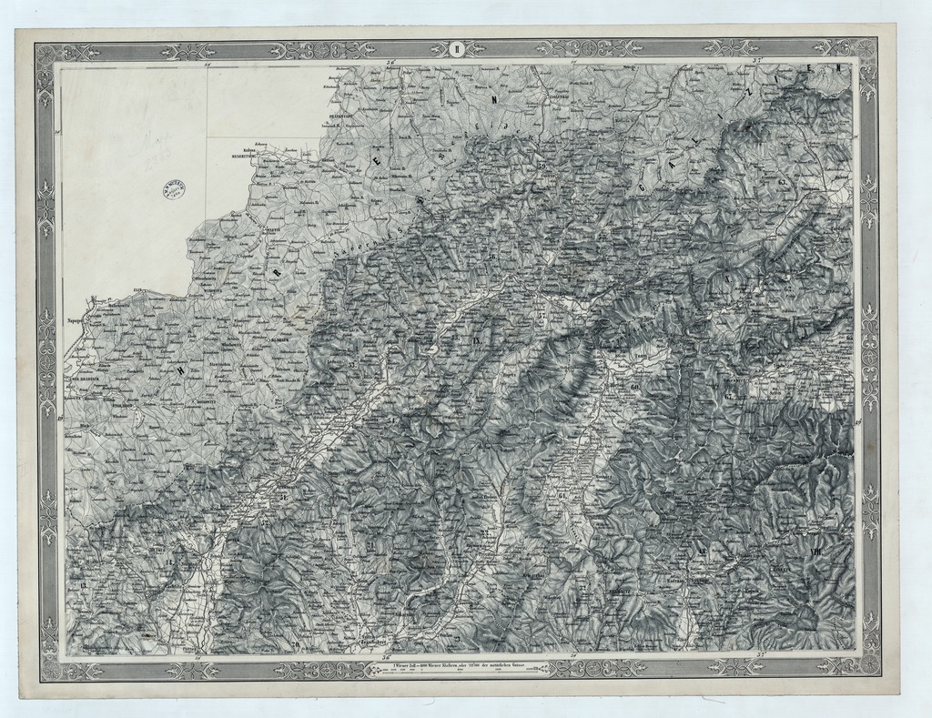
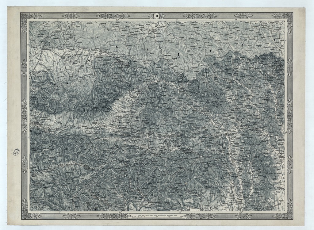
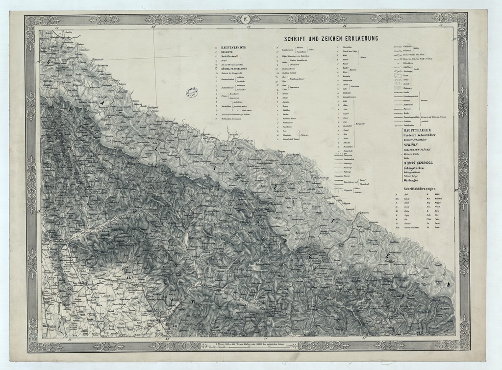
| dc.coverage.spatial | 1:288 000 | |
| dc.coverage.spatial | Magyarország | |
| dc.date.accessioned | 2016-05-13T02:31:25Z | |
| dc.date.available | 2016-05-13T02:31:25Z | |
| dc.date.copyright | 1858 | |
| dc.date.issued | 1858 | |
| dc.identifier.uri | https://ds.oszk.hu/xmlui/handle/123456789/51005 | |
| dc.format.extent | 1 térk. (17 szelv.) | |
| dc.format.medium | kőnyomat | |
| dc.format.medium | 39,2x53,5, 39,2x56,2, 46,4x53,7, 39,2x60,8, 39,2x64,5 cm + | |
| dc.publisher | K. k. Milit. Geogr. Inst. | |
| dc.title | Administrativ- und General-Karte des Königreiches Ungarn | |
| dc.title.alternative | Magyarország (közigazgatási térkép) (1858) | |
| dc.type | Cartographic | |
| dc.type | közigazgatási térkép | |
| dc.publication | [Wien] : K. k. Milit. Geogr. Inst., 1858 | |
| dc.identifier.collection | OSZK-2547619 | |
| dc.identifier.location | TM 6 162 | |
| dc.identifier.location | TM 6 162 :2 | |
| dc.identifier.location | TM 6 162 arch |