| dc.coverage.spatial | [1:3 448 000] 20 oesterreich. Meilen [=45 mm] | |
| dc.date.accessioned | 2016-05-12T18:07:50Z | |
| dc.date.available | 2016-05-12T18:07:50Z | |
| dc.date.copyright | 1847 | |
| dc.date.issued | 1847 | |
| dc.identifier.uri | https://ds.oszk.hu/xmlui/handle/123456789/51258 | |
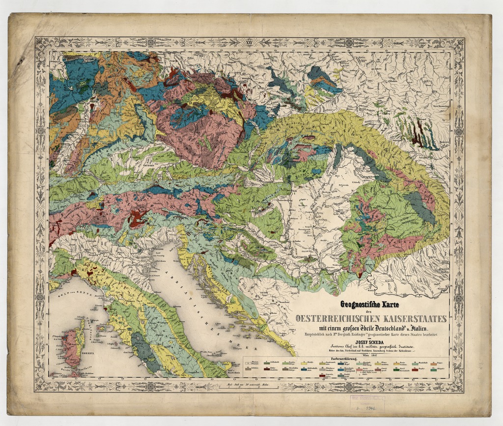
| dc.description | Ausztria, Magyarország és a szomszédos területek geológiai térképe | |
| dc.format.extent | 1térkl. | |
| dc.format.medium | kőnyomat, színes | |
| dc.format.medium | 40x49 cm | |
| dc.publisher | Scheda | |
| dc.relation.ispartofseries | (General-Karte von Europa | |
| dc.title | Geognostische Karte des Oesterreichischen Kaiserstaates mit einem grossen Theile Deutschland's u. Italien | |
| dc.type | Cartographic | |
| dc.publication | Wien : Scheda, 1847 | |
| dc.identifier.collection | OSZK-2523750 | |
| dc.identifier.location | TR 1 570 | |