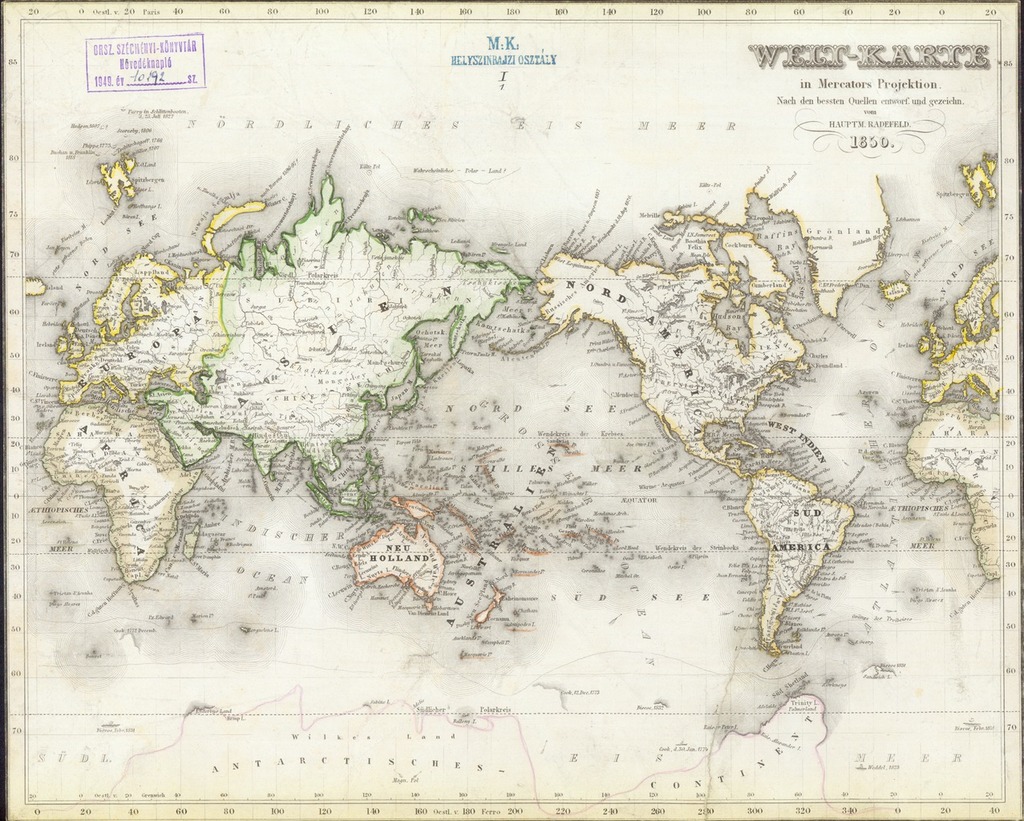
Welt-Karte in Mercators Projektion
| dc.coverage.spatial | [ca 1:200 000 000 az Egyenlítő mentén] | |
| dc.date | [verfasst. 1850] | |
| dc.date.accessioned | 2016-05-12T19:37:53Z | |
| dc.date.available | 2016-05-12T19:37:53Z | |
| dc.identifier.uri | https://ds.oszk.hu/xmlui/handle/123456789/51283 | |
| dc.format.extent | 1térkl. | |
| dc.format.medium | acélmetszet, színes | |
| dc.format.medium | 34,9x27,6 cm | |
| dc.publisher | [Bibliographisches Institut] | |
| dc.title | Welt-Karte in Mercators Projektion | |
| dc.type | Cartographic | |
| dc.publication | [Hildburghausen] : [Bibliographisches Institut], [verfasst. 1850] | |
| dc.identifier.collection | OSZK-2522230 | |
| dc.identifier.location | TR 177 |