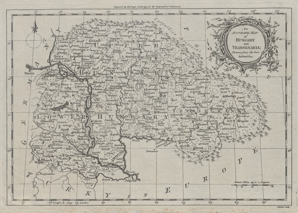
An accurate map of Hungary and Transilvania - drawn from the best authorities
| dc.coverage.spatial | [1:3 100 000] 60 statue miles [=31 mm] | |
| dc.date.accessioned | 2016-05-12T20:58:04Z | |
| dc.date.available | 2016-05-12T20:58:04Z | |
| dc.date.copyright | 1764 | |
| dc.date.issued | 1764 | |
| dc.identifier.uri | https://ds.oszk.hu/xmlui/handle/123456789/51808 | |
| dc.description | Magyarország és Erdély | |
| dc.description | Variáns | |
| dc.format.extent | 1térkl. | |
| dc.format.medium | rézmetszet | |
| dc.format.medium | 19,5x28,5 cm | |
| dc.publisher | [W. Rider] | |
| dc.title | An accurate map of Hungary and Transilvania - drawn from the best authorities | |
| dc.type | Cartographic | |
| dc.publication | [London] : [W. Rider], [1764] | |
| dc.identifier.collection | OSZK-2521870 | |
| dc.identifier.location | TR 75 |