| dc.contributor | Walch, Johann (1757-1815) (közreadó) | |
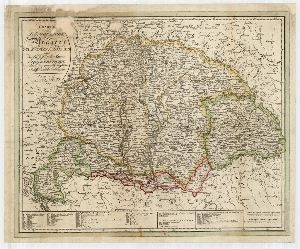
| dc.coverage.spatial | [1:1 650 000] Geographische Meilen 15 auf 1 Grad, 15 [= 67 mm] | |
| dc.coverage.spatial | Magyarország | |
| dc.date.accessioned | 2016-05-12T16:57:26Z | |
| dc.date.available | 2016-05-12T16:57:26Z | |
| dc.date.copyright | 1828 | |
| dc.date.issued | 1828 | |
| dc.identifier.uri | https://ds.oszk.hu/xmlui/handle/123456789/51871 | |
| dc.format.extent | 1 térkl. | |
| dc.format.medium | rézmetszet, színes | |
| dc.format.medium | 43,5x56,5 cm | |
| dc.publisher | bei Johan̄es Walch | |
| dc.title | CHARTE der KÖNIGREICHE Ungarn SCLAVONIEN, CROATIEN und des Grossfürstenthums SIEBENBÜRGEN - Nach den zuverlässigsten Hülfsmitteln entworfen | |
| dc.title.alternative | Magyarország (általános térkép) (1804) | |
| dc.type | Cartographic | |
| dc.type | általános térkép | |
| dc.publication | Augsburg : bei Johan̄es Walch, 1828 | |
| dc.identifier.collection | OSZK-2707764 | |
| dc.identifier.location | TR 7 991 | |