| dc.contributor | Schönberg, Johann (közreadó) | |
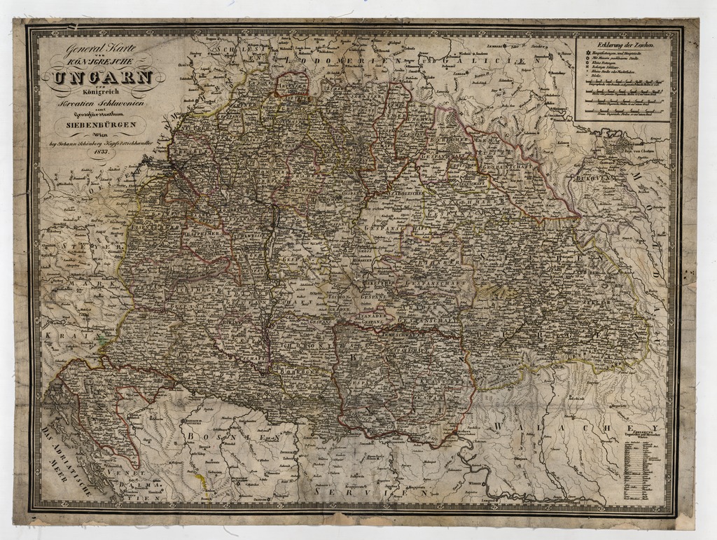
| dc.coverage.spatial | [1:1 400 000] Geographische oder Deutsche, auch gemeine Polnische Meilen, 15 [=80 mm] | |
| dc.coverage.spatial | Magyarország | |
| dc.date.accessioned | 2016-05-12T17:50:20Z | |
| dc.date.available | 2016-05-12T17:50:20Z | |
| dc.date.copyright | 1833 | |
| dc.date.issued | 1833 | |
| dc.identifier.uri | https://ds.oszk.hu/xmlui/handle/123456789/51976 | |
| dc.format.extent | 1 térkl. | |
| dc.format.medium | rézmetszet, kézi szín. | |
| dc.format.medium | 49x66,4 cm | |
| dc.publisher | bbey Johann Schönberg | |
| dc.title | General Karte von KÖNIGREICHE UNGARN UND Königreich Kroatien Schlavonien samt Grossfürstenthums SIEBENBÜRGEN | |
| dc.title.alternative | Magyarország (általános térkép) (1833) | |
| dc.type | Cartographic | |
| dc.type | általános térkép | |
| dc.publication | Wien : bbey Johann Schönberg, 1833 | |
| dc.identifier.collection | OSZK-2546407 | |
| dc.identifier.location | TR 8 450 | |