| dc.contributor | Sayer, Robert (1725-1794) (alapján) | |
| dc.contributor | Laurie & Whittle (London) (közreadó) | |
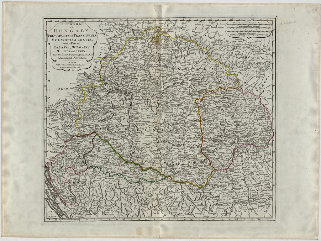
| dc.coverage.spatial | [1:1 510 000] Thousand Geometrial Paces, 60 to a Degree, 80 [=99 mm] | |
| dc.coverage.spatial | Magyarország | |
| dc.date.accessioned | 2016-05-12T17:25:40Z | |
| dc.date.available | 2016-05-12T17:25:40Z | |
| dc.date.copyright | 1795 | |
| dc.date.issued | 1795 | |
| dc.identifier.uri | https://ds.oszk.hu/xmlui/handle/123456789/51987 | |
| dc.description | Teljes kiadói felirat: Published by Laurie & Whittle, No. 53 Fleet Street, as the Act directs, 12th May, 1794. | |
| dc.description | A térkép R. Sayer atlaszában jelent meg először 1788-ban | |
| dc.format.extent | 1 térkl. | |
| dc.format.medium | rézmetszet, kézi szín. | |
| dc.format.medium | 45x53,5 cm | |
| dc.publisher | Laurie & Whittle | |
| dc.title | KINGDOM OF HUNGARY, PRINCIPALITY OF TRANSYLVANIA SCLAVONIA, CROATIA, with a Part of VALAKIA, BULGARIA, BOSNIA and SERVIA from the Latest Surveys ascertained by Astronomical Observations | |
| dc.title.alternative | Magyarország (általános térkép) (1794) | |
| dc.type | Cartographic | |
| dc.type | általános térkép | |
| dc.publication | London : Laurie & Whittle, [1795] | |
| dc.identifier.collection | OSZK-2548565 | |
| dc.identifier.location | TR 8 470 | |