| dc.contributor | Harris, John (aktív 1686-1740) (metsző) | |
| dc.contributor | W. Mount & T. Page (London) (közreadó) | |
| dc.coverage.spatial | [Ca 1:15 000 000] | |
| dc.coverage.spatial | Atlanti-óceán | |
| dc.date | [1733-1740] | |
| dc.date.accessioned | 2016-03-11T22:20:46Z | |
| dc.date.available | 2016-03-11T22:20:46Z | |
| dc.identifier.uri | https://ds.oszk.hu/xmlui/handle/123456789/94469 | |
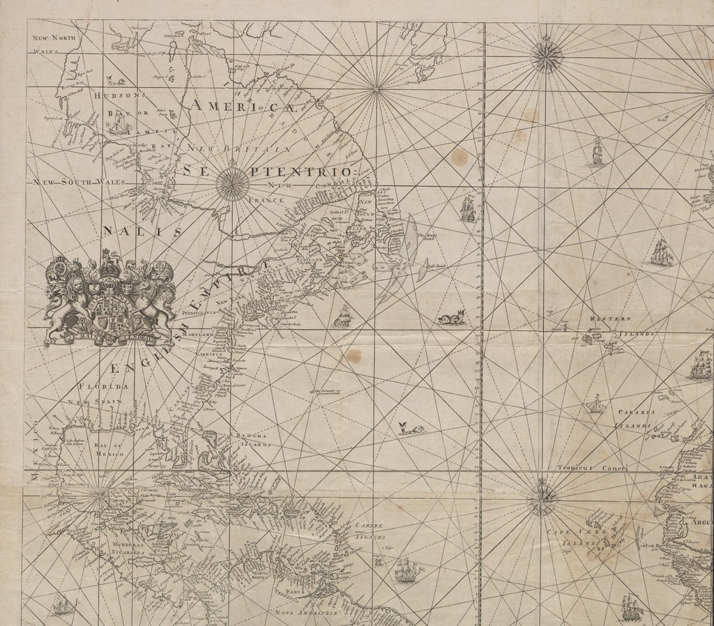
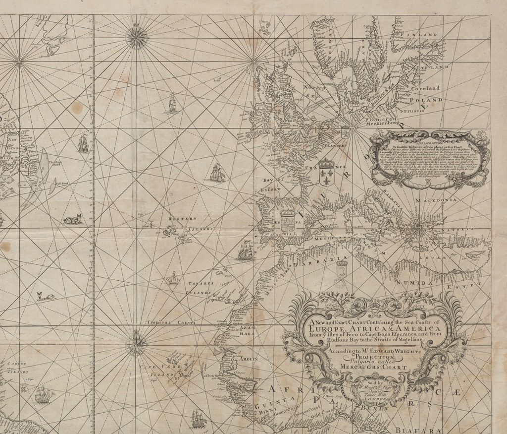
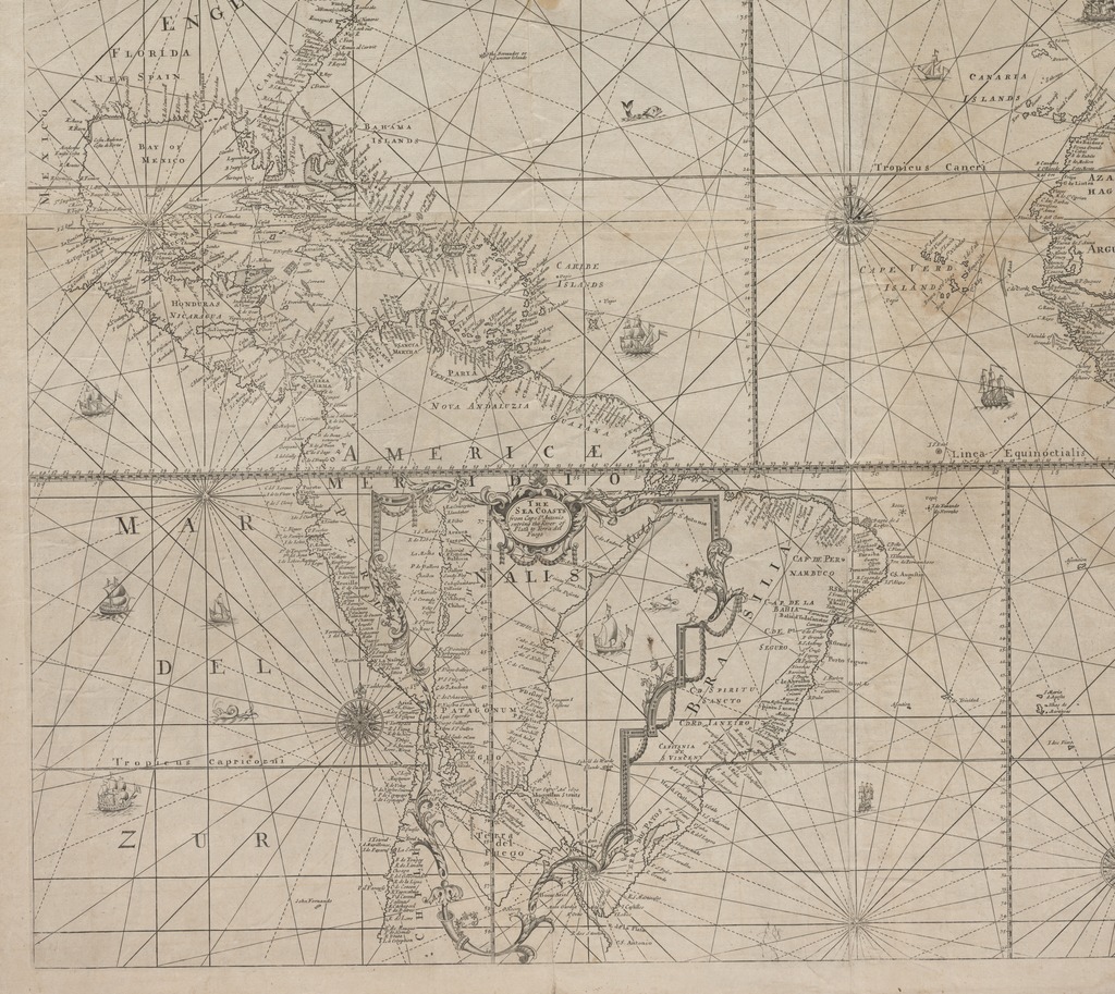
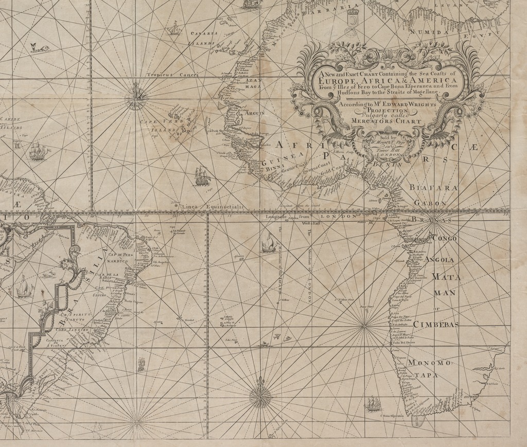
| dc.description | Az Atlanti-óceán és melléktengereinek hajózási térképe | |
| dc.description | Teljes kiadói felirat: Sold by W. Mount & T. Page on Tower Hill LONDON. | |
| dc.description | Készítési idő a címer és a korábbi kiadói-felirat maradványai alapján | |
| dc.format.extent | 1 térkl. | |
| dc.format.medium | rézmetszet | |
| dc.format.medium | 89x97,5 cm | |
| dc.publisher | sold by W. Mount & T. Page | |
| dc.title | A New and Exact CHART Containing the Sea Coasts of EUROPE, AFRICA & AMERICA From ye Isles of Fero to Cape Bona Esperanca and From Hudsons Bay to the Straits of Magellane. | |
| dc.title.alternative | Atlanti-óceán (közlekedési térkép) (1700/1712) | |
| dc.type | Cartographic | |
| dc.type | hajózási térkép | |
| dc.publication | London : sold by W. Mount & T. Page, [1733-1740] | |
| dc.identifier.collection | OSZK-2526290 | |
| dc.identifier.location | TR 2 782 | |