| dc.contributor | Senex, John (1678-1740) (kész. és közreadó) | |
| dc.coverage.spatial | [1:3 000 000] A Scale of Leauges 20 to a Degree, 1 [= 42 mm] | |
| dc.coverage.spatial | Földközi-tenger | |
| dc.date.accessioned | 2016-03-11T21:43:03Z | |
| dc.date.available | 2016-03-11T21:43:03Z | |
| dc.date.copyright | 1738 | |
| dc.date.issued | 1738 | |
| dc.identifier.uri | https://ds.oszk.hu/xmlui/handle/123456789/94832 | |
| dc.description | Teljes kiadói felirat: Sold by Ohn Senex over against St. Dunstans Church in Fleetstreet, price 2s. 6d. | |
| dc.format.extent | 1 térk. (3 szelv.) | |
| dc.format.medium | rézmetszet | |
| dc.format.medium | 57x52 cm | |
| dc.publisher | sold by Iohn Senex | |
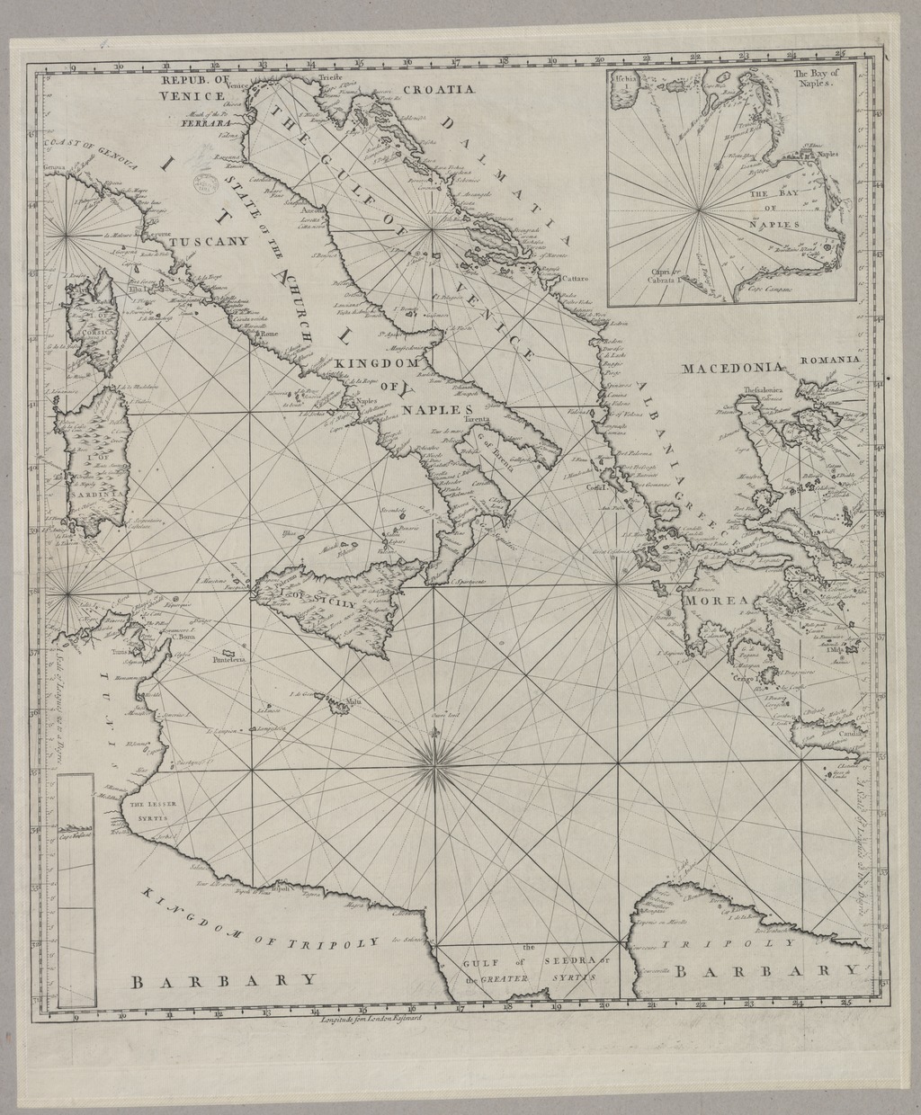
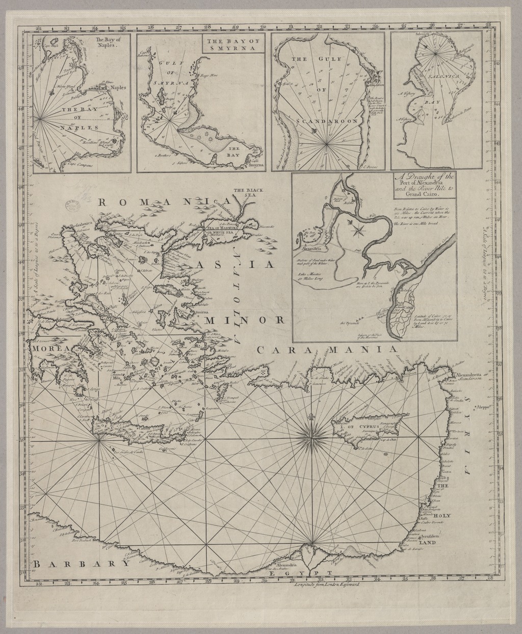
| dc.title | A New Map, or Chart of the MEDITERRANEAN SEA - made from the draughts of the Pilots of Marseilles and Corrected by the best Astronomical Observations : By Order of M.GR LE COMTE DE MAUREPAS 1738 : To which is annex'd A Draught of the Straits mouth with the Bays of Cadis Gibralter and Malaga, the Ports of Legorne, Naples, Mahon, Smyrna, Thessalonica, Scandaroon, and Alexandria with the Course of the Nile from thence to Grand Cairo | |
| dc.title.alternative | Földközi-tenger (közlekedési térkép) (1738) | |
| dc.type | Cartographic | |
| dc.type | hajózási térkép | |
| dc.publication | [London] : sold by Iohn Senex, 1738 | |
| dc.identifier.collection | OSZK-2536841 | |
| dc.identifier.location | TR 7 301 | |