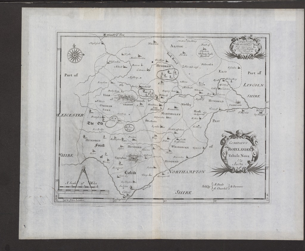
| dc.contributor | Morden, Robert (c. 1650-1703) (kész.) | |
| dc.contributor | Swale, Abel (aktív ca 1666-1699) (közradó) | |
| dc.contributor | Churchill, Awnsham (1658-1728) (közreadó) | |
| dc.coverage.spatial | [1:75 000] A Scale of Miles, 5 [small = 64 mm] | |
| dc.coverage.spatial | Rutland | |
| dc.date.accessioned | 2016-03-11T22:29:26Z | |
| dc.date.available | 2016-03-11T22:29:26Z | |
| dc.date.copyright | 1695 | |
| dc.date.issued | 1695 | |
| dc.identifier.uri | https://ds.oszk.hu/xmlui/handle/123456789/95828 | |
| dc.format.extent | 1 térkl. | |
| dc.format.medium | rézmetszet | |
| dc.format.medium | 28,3x35,4 cm | |
| dc.publisher | sSld by A. Swale A. Churchil and Partners | |
| dc.title | COMITATUS ROTELANDIÆ Tabula Nova & Aucta | |
| dc.title.alternative | Rutland (általános térkép) (1695) | |
| dc.type | Cartographic | |
| dc.type | általános térkép | |
| dc.publication | [London] : sSld by A. Swale A. Churchil and Partners, [1695] | |
| dc.identifier.collection | OSZK-2538754 | |
| dc.identifier.location | TR 869 | |