| dc.contributor | Kaiserlich-Königliches Militär-Geographisches Institut (Wien) (kész.) | |
| dc.coverage.spatial | 1:75 000 | |
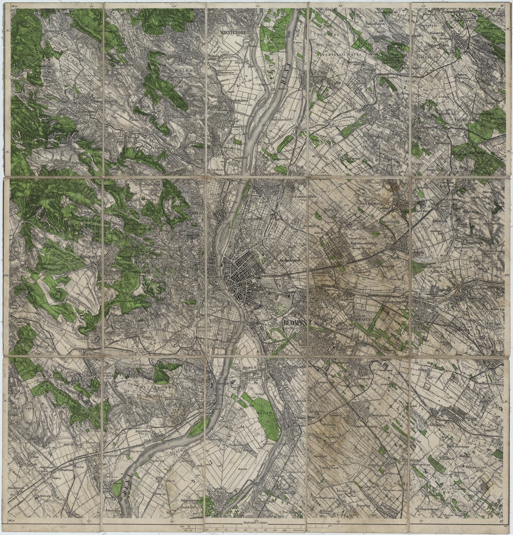
| dc.coverage.spatial | Budapest (környék) | |
| dc.date | [1912-1915] | |
| dc.date.accessioned | 2016-05-12T18:09:25Z | |
| dc.date.available | 2016-05-12T18:09:25Z | |
| dc.identifier.uri | https://ds.oszk.hu/xmlui/handle/123456789/51117 | |
| dc.description | Kiadás éve a vasútvonalak (Budapest-Veresegyháza-Vác) és Kistétény névváltozása alapján | |
| dc.format.extent | 1 térkl. | |
| dc.format.medium | színes | |
| dc.format.medium | 51x50 cm | |
| dc.publisher | [Militär-Geographisches Institut] | |
| dc.title | Umgebungskarte von Budapest | |
| dc.title.alternative | Budapest (környék) (topográfiai térkép) (1912/1915) | |
| dc.type | Cartographic | |
| dc.type | topográfiai térkép | |
| dc.publication | [Wien] : [Militär-Geographisches Institut], [1912-1915] | |
| dc.identifier.collection | OSZK-2549665 | |
| dc.identifier.location | TM 7 567 | |
| dc.identifier.location | TM 7 567 arch | |