| dc.contributor | Weiland, Carl Ferdinand (1782-1847) (terv., rajz.) | |
| dc.contributor | Geographisches Institut (Weimar) (közread.) | |
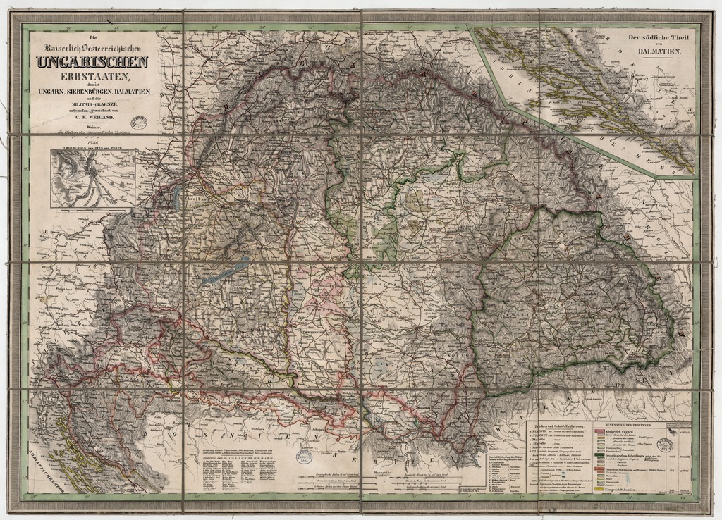
| dc.coverage.spatial | 1:1 522 000 | |
| dc.coverage.spatial | Magyarország | |
| dc.date.accessioned | 2016-05-12T19:17:50Z | |
| dc.date.available | 2016-05-12T19:17:50Z | |
| dc.date.copyright | 1836 | |
| dc.date.issued | 1836 | |
| dc.identifier.uri | https://ds.oszk.hu/xmlui/handle/123456789/51951 | |
| dc.description | Teljes méret a kerettel: 47,2x66,8 cm | |
| dc.format.extent | 1 térkl. | |
| dc.format.medium | kőnyomat, kézi szín. | |
| dc.format.medium | 43x62,5 cm | |
| dc.publisher | Im Verlage des Geographischen Instituts | |
| dc.title | Die Kaiserlich Oesterreichischen UNGARISCHEN ERBSTAATEN, das ist UNGARN, SIEBENBÜRGEN, DALMATIEN und die MILITAIR-GRAENZE | |
| dc.title.alternative | Magyarország (közigazgatási térkép) (1836) | |
| dc.type | Cartographic | |
| dc.type | közigazgatási térkép | |
| dc.publication | Weimar : Im Verlage des Geographischen Instituts, 1836 | |
| dc.identifier.collection | OSZK-2544252 | |
| dc.identifier.location | TR 8 411 | |
| dc.identifier.location | TR 8 411:2 | |
| dc.identifier.location | TR 8 411:3 | |
| dc.identifier.location | TR 8 411 arch | |