Pannon Digital Joint Archives
Toggle navigation
English
Deutsch
magyar
English
English
Deutsch
magyar
Login
Toggle navigation
View Item
DSpace Home
Feldolgozás alatt
Országos Széchényi Könyvtár
Térképtár (archív)
1850 előtt nyomtatott térképek (TR jelzetek)
View Item
DSpace Home
Feldolgozás alatt
Országos Széchényi Könyvtár
Térképtár (archív)
1850 előtt nyomtatott térképek (TR jelzetek)
View Item
JavaScript is disabled for your browser. Some features of this site may not work without it.
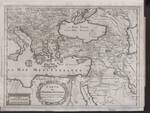
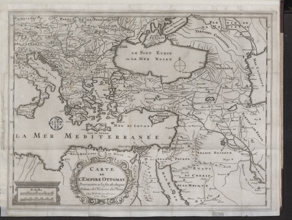
CARTE DE L'EMPIRE OTTOMAN - Pour mettre a la fin de chaque Volume de l'Histoire des Turcs
Author
Johnson, T. (közreadó)
Spatial coverage
[1:10 000 000] Milles d'Italie de 1000 pas geometriq., 300 [= 55 mm]
Oszmán-török Birodalom
Location / Jelzet
TR 1 092
Metadata
Show full item record
View/
Open
TR_01092_1024.jpg (311.9Kb)
URI
https://ds.oszk.hu/xmlui/handle/123456789/93837
Collections
1850 előtt nyomtatott térképek (TR jelzetek)
Search DSpace
This Collection
Browse
All of DSpace
Communities & Collections
By Issue Date
Authors
Titles
Subjects
This Collection
By Issue Date
Authors
Titles
Subjects
My Account
Login


