Pannon Digital Joint Archives
Toggle navigation
English
Deutsch
magyar
English
English
Deutsch
magyar
Login
Toggle navigation
View Item
DSpace Home
Feldolgozás alatt
Országos Széchényi Könyvtár
Térképtár (archív)
1850 előtt nyomtatott térképek (TR jelzetek)
View Item
DSpace Home
Feldolgozás alatt
Országos Széchényi Könyvtár
Térképtár (archív)
1850 előtt nyomtatott térképek (TR jelzetek)
View Item
JavaScript is disabled for your browser. Some features of this site may not work without it.
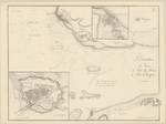
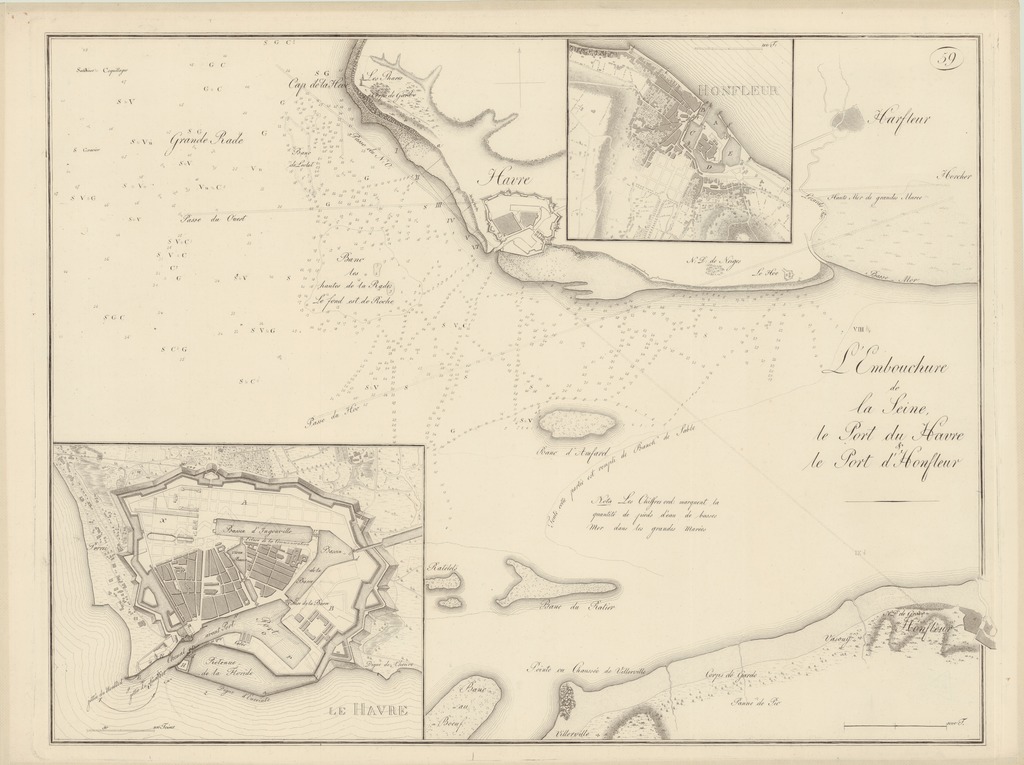
L'Embouchure de la Seine, le Port du Havre & le Port d'Honfleur
Date
1801
Author
Wiebeking, Carl Friedrich von (1762-1842) (kész. és közread.)
Spatial coverage
[1:30 000] 1000 T[oises = 65 mm]
Szajna
Le Havre
Honfleur (Franciaország)
Location / Jelzet
TR 2 294/30
Metadata
Show full item record
View/
Open
TR_02294_30_1024.jpg (210.6Kb)
URI
https://ds.oszk.hu/xmlui/handle/123456789/94305
Collections
1850 előtt nyomtatott térképek (TR jelzetek)
Search DSpace
This Collection
Browse
All of DSpace
Communities & Collections
By Issue Date
Authors
Titles
Subjects
This Collection
By Issue Date
Authors
Titles
Subjects
My Account
Login


