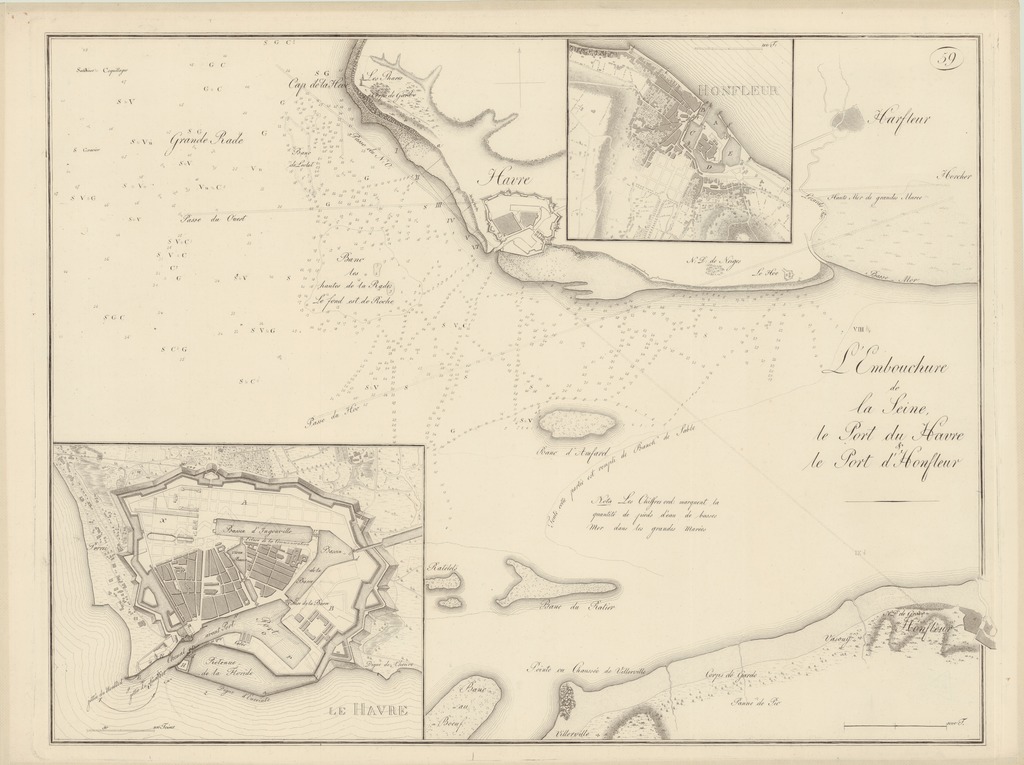
| dc.contributor | Wiebeking, Carl Friedrich von (1762-1842) (kész. és közread.) | |
| dc.coverage.spatial | [1:30 000] 1000 T[oises = 65 mm] | |
| dc.coverage.spatial | Szajna | |
| dc.coverage.spatial | Le Havre | |
| dc.coverage.spatial | Honfleur (Franciaország) | |
| dc.date.accessioned | 2016-03-11T23:00:13Z | |
| dc.date.available | 2016-03-11T23:00:13Z | |
| dc.date.copyright | 1801 | |
| dc.date.issued | 1801 | |
| dc.identifier.uri | https://ds.oszk.hu/xmlui/handle/123456789/94305 | |
| dc.format.extent | 1 térkl. | |
| dc.format.medium | rézmetszet | |
| dc.format.medium | 44x59,3 cm | |
| dc.publisher | [C. F. v. Wiebeking] | |
| dc.relation.haspart | 3506622 | |
| dc.title | L'Embouchure de la Seine, le Port du Havre & le Port d'Honfleur | |
| dc.title.alternative | Szajna (torkolat) (vízrajzi térkép) (1801) | |
| dc.type | Cartographic | |
| dc.type | vízrajzi térkép | |
| dc.type | településtérkép | |
| dc.publication | [Darmstadt] : [C. F. v. Wiebeking], [1801] [J. F. P. Stahl]) | |
| dc.identifier.collection | OSZK-2749077 | |
| dc.identifier.location | TR 2 294/30 | |